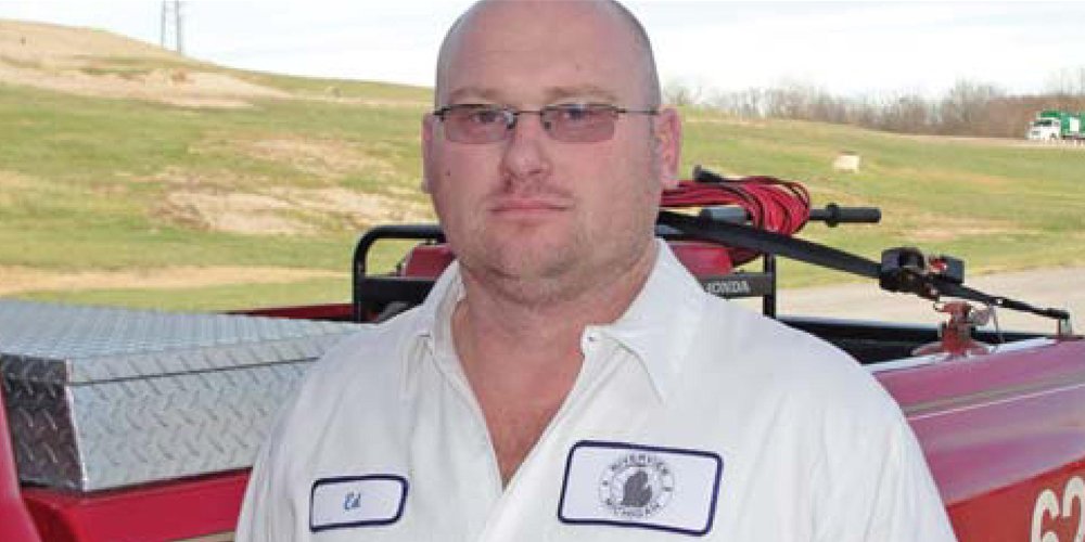
Ed Worrel
The GeoLogic system allows you to fill to your waste limit, then go back out there, and check it again and track settlement.
We use it to help us check grades when building new cells and it’s a nice little add-on to the compaction features of the program.
A lot of times, you can look at a slope, and it looks compacted. However, when you drive over it with the system, you check the deflection and sometimes find it isn’t actually fully compacted, because maybe the operators put the trash in a little too thick in that spot.
With the GeoLogic system, we now can see in the compactor cab when the trash is not compacting anymore and it’s doesn’t do any good to keep rolling over it.
We use the system’s daily compaction information to know which machines or which techniques work best.
With this system, you can actually try each technique and see numbers that show you which one works better.
The system helps me decide what to do next. It’s a diagnostics tool.
Our compaction has improved quite a bit. Before we used the GeoLogic GPS, you could try different ways to compact, but you didn’t know if they were working or not.
We saw an increase of about 300 to 400 pounds per cubic yard since we began using the GeoLogic GPS system.
