GCS: Density for Landfill Management
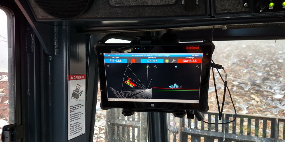
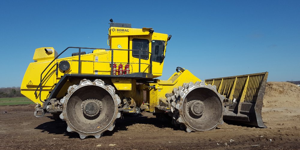
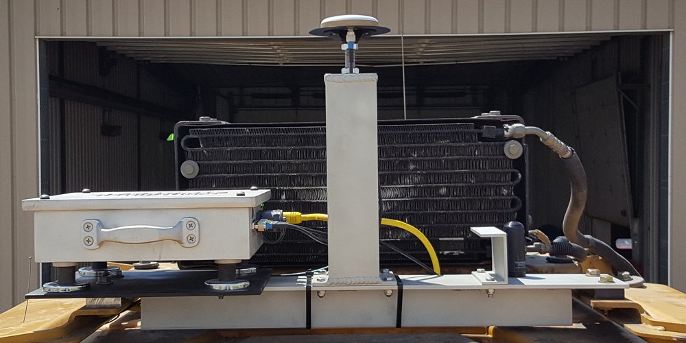
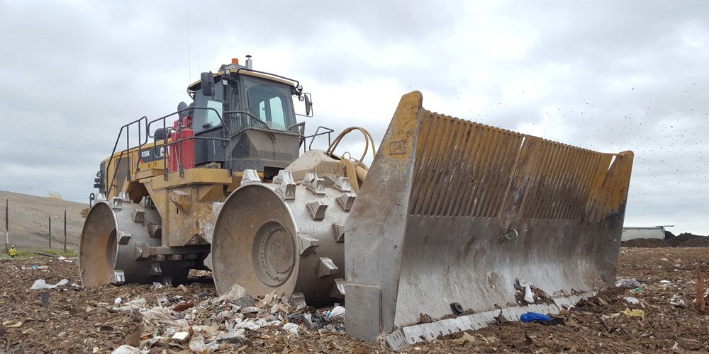
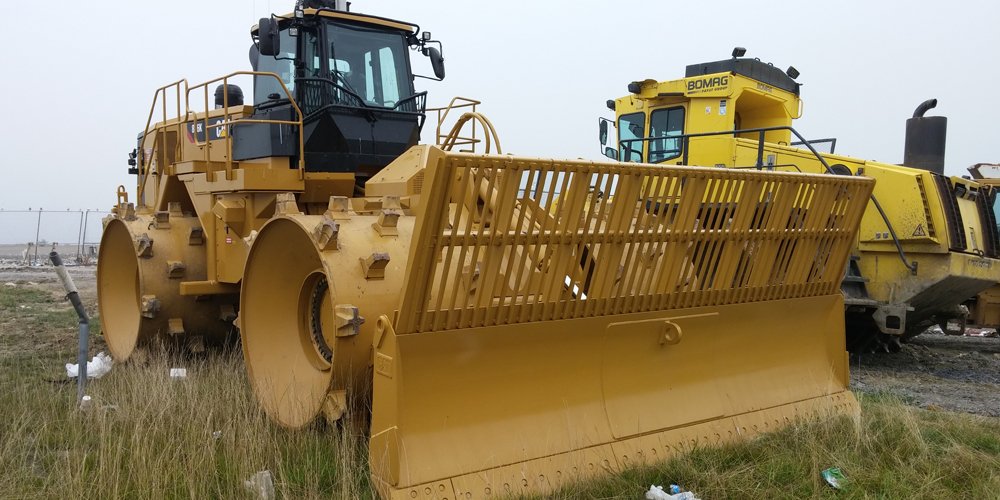
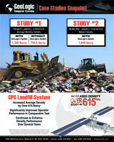
GeoLogic developed and patented its industry-leading deflection-based landfill GPS system using wheel tracks to indicate surface change. GeoLogic has led the landfill GPS industry since 2004, installing more than 60 landfill GPS systems at 40 municipal and privately-owned landfills throughout North America. The GeoLogic Orion™ System is powered by GCS:Density, the most advanced landfill software on the market. Increasing compaction, managing and tracking your fleet and constructing exactly to grade are only a few of the many features that make this the best landfill GPS system.
Your site will benefit from the system’s broad capabilities, including compaction and construction management, surveying, cloud-based communication, reporting and portability. This is all done with the most advanced hardware and patented software techniques, designed to maximize your efficiency and your return on investment. No other system available offers the features, support, and ease of use to its customers at such a low cost.
Density Reports
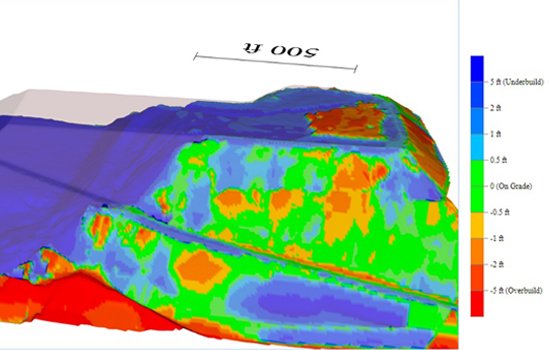
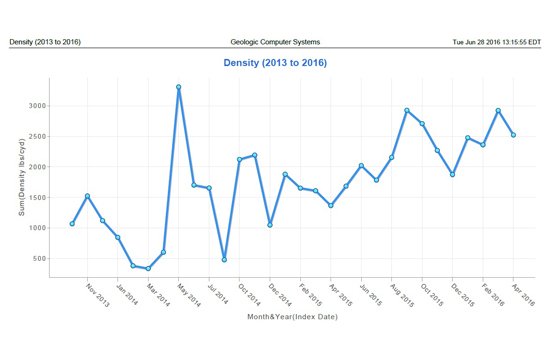
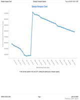
The Orion™ system provides you with monthly detailed reports that track every aspect of your site’s performance. These reports are provided to you by our service technicians who will help you to reach your compaction goals. Not only will you receive detailed site performance tracking reports, GeoLogic will also provide fully interactive 3D files that show things like remaining airspace and over and under-built sections of your landfill.
About Service
Every Orion™ system we sell comes with a full three year service contract that covers every aspect of system operation. This makes us the only true turn-key solution in the landfill market.


