GCS: Topo for Surveying
GCS:Topo is designed to rapidly collect topographic data that can then be used to make topographic maps. Data collected this way gets around the problems of aerial data collection that can interpret the top of vegetation as ground surface, throwing off volume calculations significantly. Dirt contractors need to know what is there before bidding on a project or starting work, so that they can get paid for every yard of dirt moved. Rapid surveys of jobs in progress can document percentage of completion for billing purposes.
GCS:Point is designed to allow a surveyor or contractor to input a list of points he wants to stake, then direct him to those points and give him the data needed to correctly mark the stakes, including offset stakes.
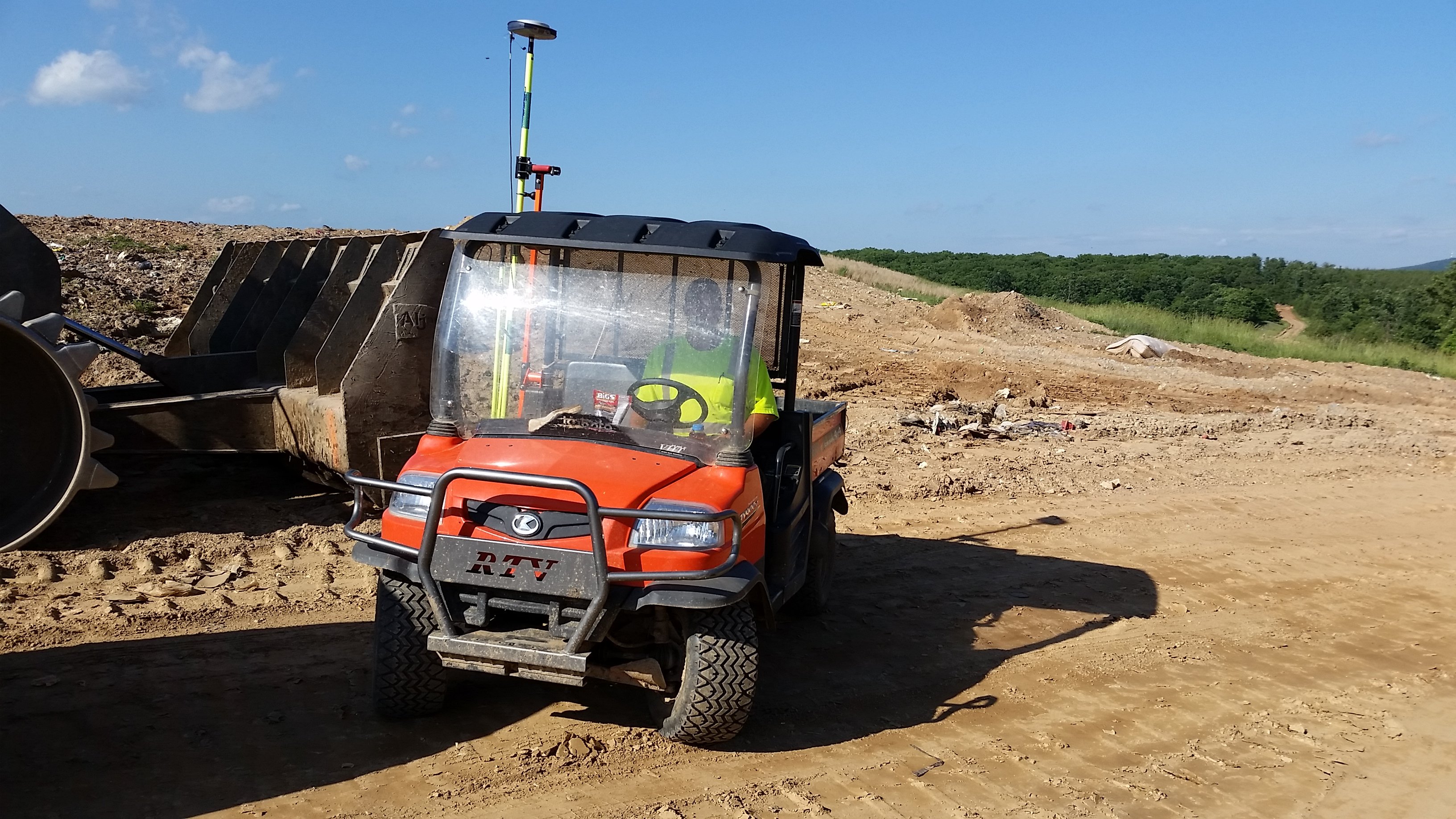
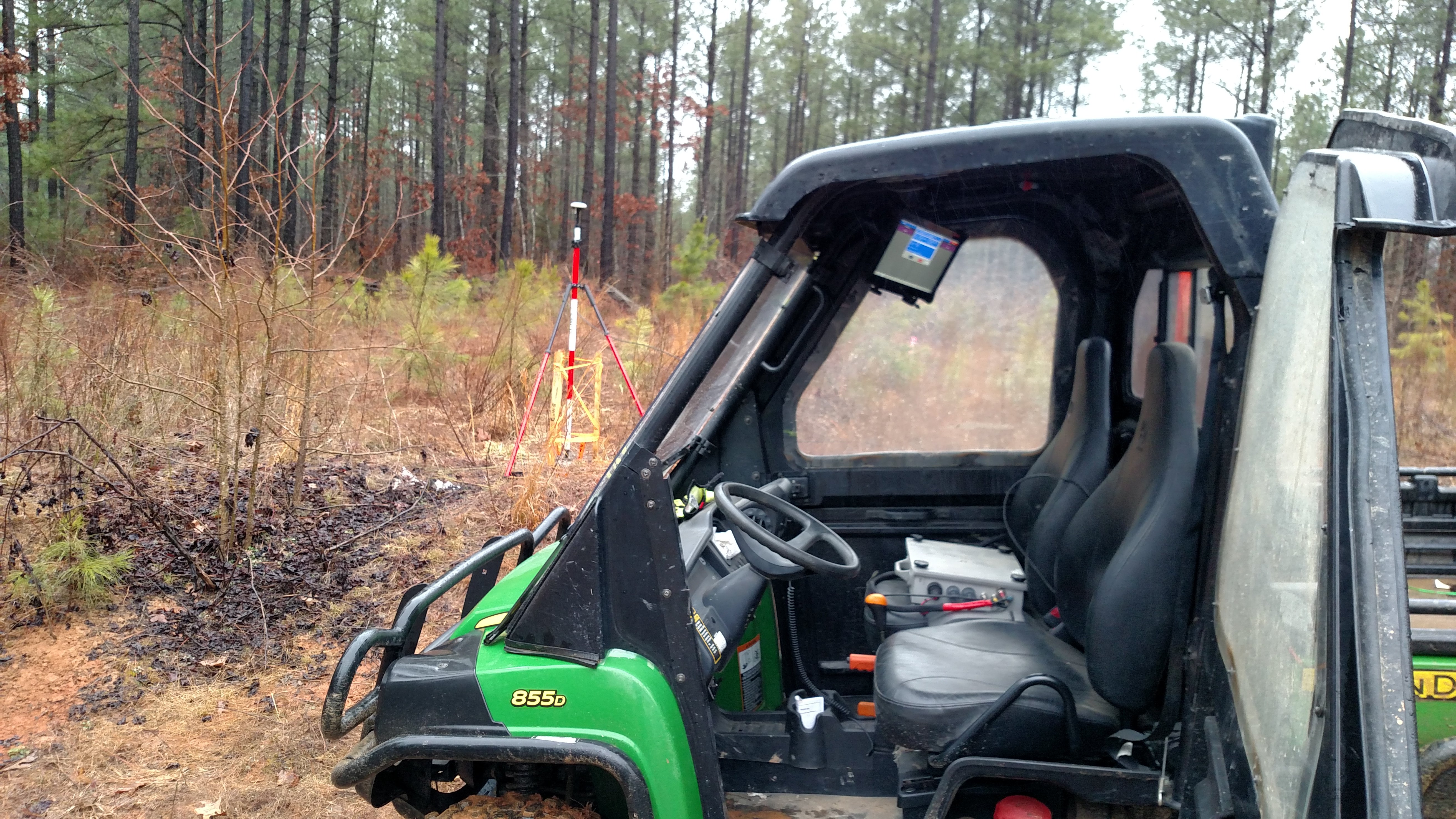
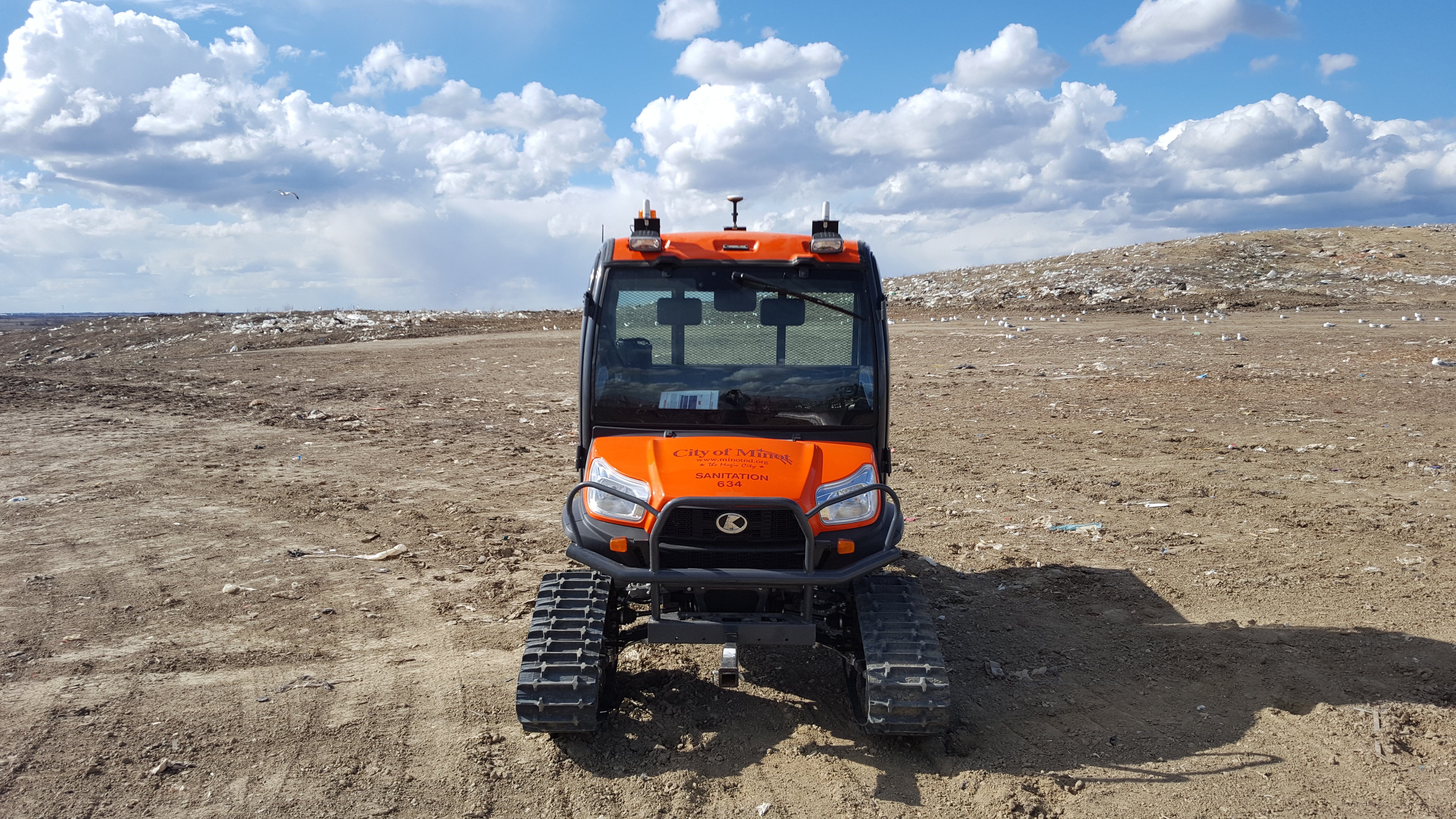
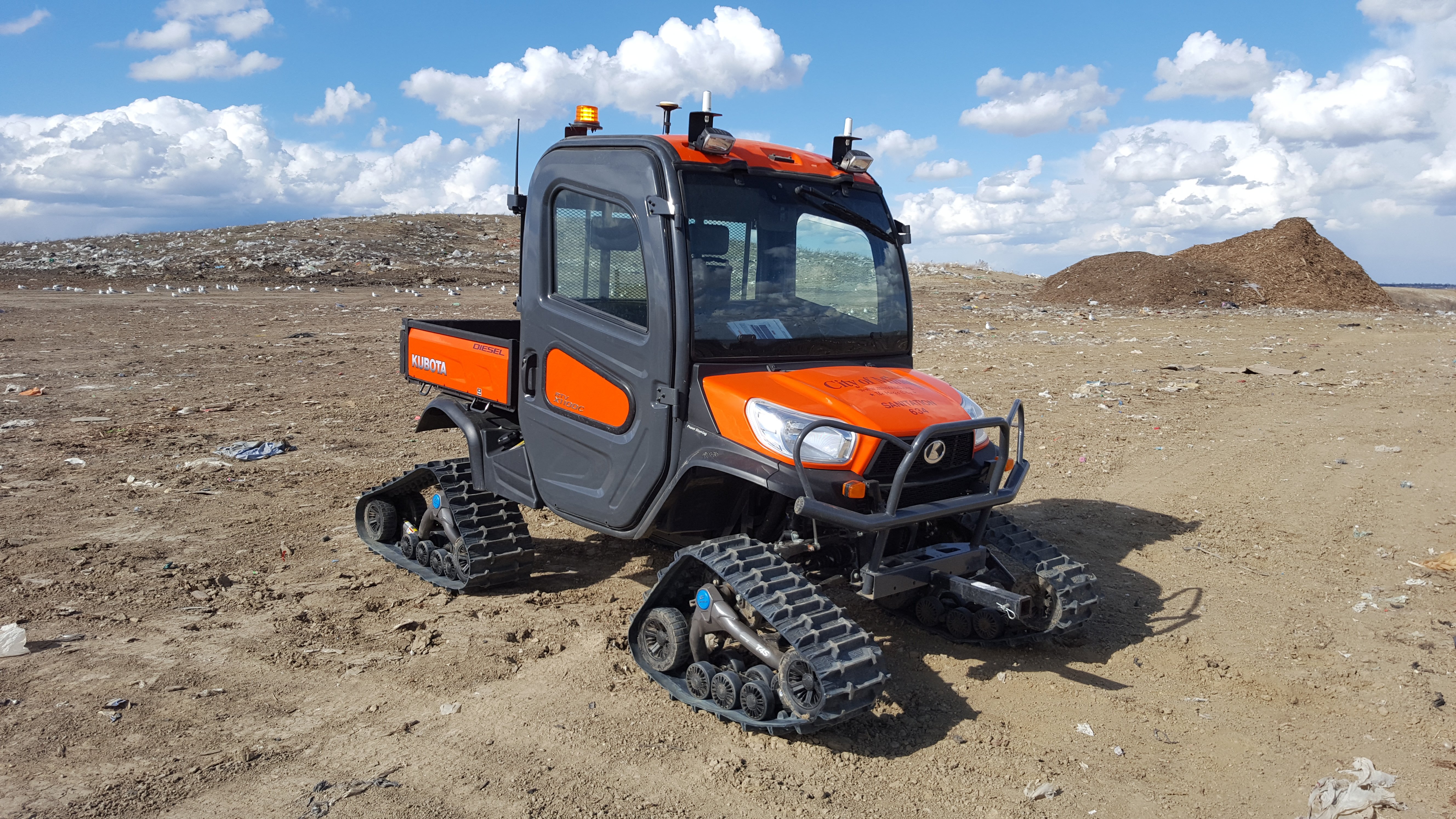
The software and computer hardware can be installed on any vehicle, such as a UTV, ATV or pickup truck for rapid surveying. This means that you can do twice the surveying at double the accuracy in half the time.
GCS:Topo and GCS:Point are excellent companion applications to other GeoLogic software, and are included in all purchases of other GeoLogic modules. Like all GeoLogic software, these modules are designed to work with a wide variety of hardware, and are not limited to compatibility with one manufacturer.


